
- John Muir
Old Silk Route also known as Silk Route or Silk Road is one of the most beloved and beautiful destination for mountain and nature lovers. This is a small part of the route used for Silk Trading in ancient India and China. The part of this route within India is under the jurisdiction border of two Indian states - West Bengal and Sikkim.
This route has gained immense popularity over the last few years due to the hidden treasures of the unexplored beauty throughout the entire journey. The route starts from the Kalimpong district of West Bengal and ends only with the sweetest memories of your life.
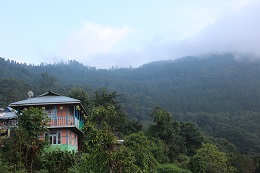
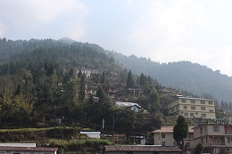
Ichey Gaon aka Echey Gaon or Icche Gaon is a small village in the Kalimpong district of the state of West Bengal, India. Icche Gaon, situated at 5800 ft above mean sea level, has view of Mount Kangchenjunga and nearby peaks. Icche Gaon is located 89 km from New Jalpaiguri.
This beautiful himalayan hamlet is totally surrounded by dense pine forests and offers a clear panoromic view of majestic Mt. Kangchenjunga.
On the starting day of Old Silk Route Tour people generally likes a spend a night here. You will definitely love the environment here as a kickstart to your journey.
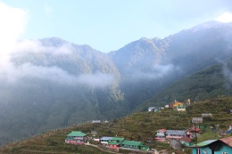
Sillery Gaon is a small village in the Kalimpong district of the state of West Bengal, India. Sillery Gaon is situated at an altitude of 6000 ft. It locally known as New Darjeeling. Sillery Gaon is located 94 km from New Jalpaiguri. From Kalimpong the distance to Sillery Gaon is 23kms and will take over an hour by car. From Kalimpong you will reach Algarah in about 40 minutes (15kms) along Rishi Road. This is a very beautiful small himalayan village with around 30 families in total.
On the starting day of Old Silk Route Tour this place is generally a place to stay as an alternate to Ichey Gaon.
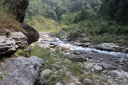
Rishikhola aka Reshi Khola is a small beautiful offbeat destination located on the bank of Rishi (Reshi) river along the border of Sikkim and West Bengal at an altitude of 2,000 ft.
Rishikhola is a perfect stop for tourists where one can enjoy the cool, refreshing stream of Rishi river with their feet in the water. Sitting on the banks of river and gazing at the water flowing down, a nature lover can easily spend ages with a blink.
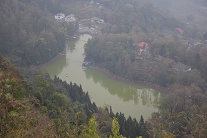
Aritar is a region in the East Sikkim district of the Indian state of Sikkim under Rongli Sub-Division. Isolated from the rest of the state, on the far eastern border of Sikkim and bounded by Mt. Kanchendzonga, the region is characterized by lush forest, mountains and rivers.
The Aritar Lake or Lampokhari Lake (Ghati-Tso) is a nearby attraction, as are traditional villages and monasteries. At an altitude of 4600 ft (1,400 m) it is the only lake with boating facility in Sikkim.
From Aritar people can visit Mankhim aka Mangkhim, a Temple of the Rai of Nepali origin is located at a height of 6500 ft. On a clear day Mankhim view point offers panoromic view of Mt. Kangchenjunga.
Phadamchen (aka Fadamchen) is a small village in East Sikkim. Surrounded by Eastern Himalayan mountain ranges this small village is now an emerging offbeat destination in this route. This is a nice place to acclimitize during going up towards end of route or take a day halt during the return from Nathang or Kupup.
Since Zuluk and Nathang both are not having proper amenities, visitiors often consider Phadamchen as a base to visit the rest of the route.
.
Zuluk (aka Dzuluk or Jhuluk or Jaluk) is a small hamlet located at a height of around 10,000 feet (3,000 m) on the rugged terrain of the lower Himalayas in East Sikkim of the Indian state Sikkim. This place is relatively an emerging and offbeat destination in East Sikkim. It derives its tourism importance due to the excellent view of the eastern Himalayan mountain range including the Kanchenjunga.
It was once a transit point to the historic Silk Route from Tibet to India. The famous silk route that connected Lhasa (Tibet) to Kalimpong was in use even a few decades ago until the Chinese invasion of Tibet. It was commonly used by traders traveling to Tibet through Jelep-la ("La" stands for mountain pass) as an overnight base.

Undobtedly the most famous picture in the entire journey is the view of Zig Zag roads from hill top. From Zuluk or Phadamchen visitors do a day trip for sightseeing. The trip starts early morning and the vehicle carries on its journey through the roads of the hills.
Reaching at the Zig-Zag view point visitor will see a top view the road that he/she just crossed in last one hour. It is a glorious and picturesque view that remains in memory for lifetime.
Be it a bright sunny day or a cloud covered one, the view of Zig-Zag roads covering the entire hillside will amaze you for sure.
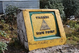
Thambi View Point is a part of the sightseeing from Zuluk or Phadamchen. At an altitude of around 11,000 ft Thambi View Point offers a panoramic view of Mt. Kanchenjungha as well as a hill top view of Zuluk Village.
This view point is located at a distance of 15 Kms from Zuluk.
Nathang Valley ( aka Gnathang Valley) is once a place of yak herders but now one of the most popular offbeat destination in India. This is the highest valley in eastern sikkim available for tourist offerings at an altitude of nearly 13,300 ft.
The valley is entirely covered by snow-capped mountains. The ultimate destination to stay in Old Silk Route can be this valley. The valley offers mesmerizing views of the Eastern Himalayan mountain range.
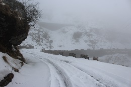
Being an offbeat destination, it is very hard to find premium properties here but the homestays available here are upto the mark for comfortness and amenities. Winter is almost snow covered in this valley which is tough for many travellers to survive however, this is purely heaven for snow lovers.
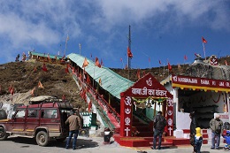
Old Baba Mandir is originally an Indian Army bunker turned into a temple in the memory of Baba Harbhajan Singh.
Captain "Baba" Harbhajan Singh (30 August 1946 – 4 October 1968) was an Indian army soldier. Many of his faithful - chiefly Indian army personnel posted in and around the Nathu La and the Sino-Indian border between the state of Sikkim and Chinese-occupied Tibet - have come to believe his spirit protects every soldier in the inhospitable high-altitude terrain of the Eastern Himalayas. As with most saints, the Baba is believed to grant favours to those who revere and worship him. He is said to be protecting the country even after death.
This bunker turned temple is a must visit in this route.
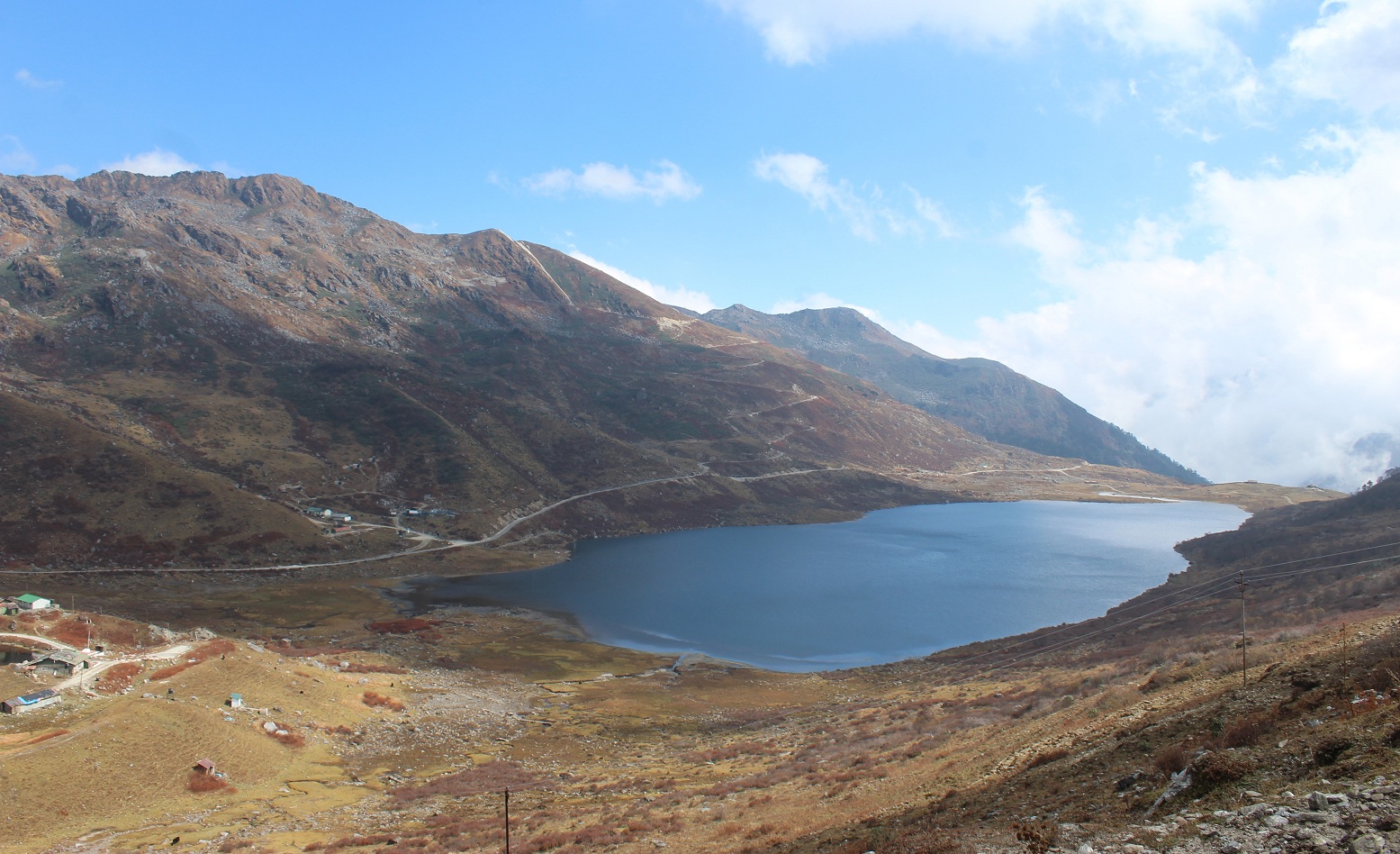
Kupup Lake ( aka Hathipokhari Lake or Elephant Lake) is one of the most scenic lakes in sikkim at an altitude of nearly 14,000 ft.
Surrounded by deserted mountains, this lake resembles an Elephant. The name Kupup comes from the village named Kupup around the corner of the lake which housed a very few families and a police checkpost. Historically this places was an intransit point enroute Silk trade between India and Tibet.
This place is also famous for Yak Golf Course which is an 18-hole golf course at the highest altitude of sea level in the world and has been included in Guinness Book of World Records.
