
- Ruskin John
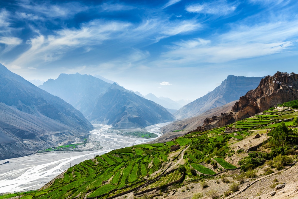
Himachal Pradesh is a state in the northern part of India. Situated in the Western Himalayas, it is bordered by states of Jammu and Kashmir on the north, Punjab on the west, Haryana on the southwest, Uttarakhand on the southeast, and Tibet on the east. At its southernmost point, it also touches the state of Uttar Pradesh.
This state has gained immense popularity over decades due to the mightiest Himalayan range. This state is enriched with the most beatiful scenes a mountain lover can ever expect. Green, Flower, River, Snow, Cold Desert, Adventure, Lakes, Rafting - name an experience from the mountains, Himachal is ready with the bouquet to welcome you. The journey of Himachal starts with excited call of mountains and ends only with the sweetest memories of your life.
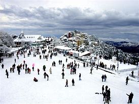
Shimla is the capital of the northern Indian state of Himachal Pradesh, in the Himalayan foothills. Once the summer capital of British India, it remains the terminus of the narrow-gauge Kalka-Shimla Railway, completed in 1903.
It’s also known for the handicraft shops that line The Mall, a pedestrian avenue, as well as the Lakkar Bazaar, a market specializing in wooden toys and crafts.
Strung out along a 12km ridge, with steep forested hillsides falling away in all directions, the Himachal capital is one of India's most popular hill resorts, buzzing with a happy flow of heat-escaping Indian vacationers.
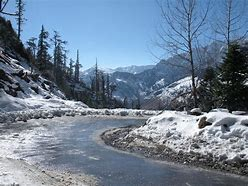
Manali is a resort town nestled in the mountains of the Indian state of Himachal Pradesh near the northern end of the Kullu Valley in the Beas River Valley. It is located in the Kullu district, about 270 km (168 mi) north of the state capital, Shimla, 309 km (192 miles) north east of Chandigarh and 544 km (338 miles) northeast of Delhi, the national capital.
The small town, with a population of 8,096, is the beginning of an ancient trade route to Ladakh and from there over the Karakoram Pass on to Yarkand and Khotan in the Tarim Basin. It is a popular tourist destination and serves as the gateway to Lahaul and Spiti district as well as Leh.
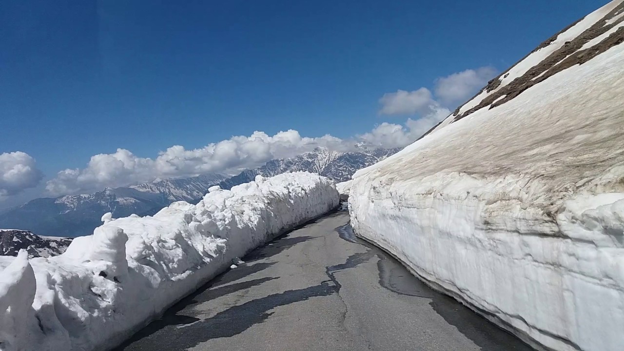
Rohtang Pass (Hindi: रोहतांग दर्रा) (Bhoti: རོ་ཐང་། Rohtang , lit: རོ་ (Ro)- corpse, ཐང་། (thang)- plain/field due to people working in CBRE dying in bad weather trying to cross the pass) (elevation 3,978 m (13,050 ft)), is a high mountain pass on the eastern Pir Panjal Range of the Himalayas around 51 km (32 mi) from Manali. It connects the Kullu Valley with the Lahaul and Spiti Valleys of Himachal Pradesh, India.
The pass provides a natural divide between the Kullu Valley with a primarily Hindu culture (in the south), and the arid high-altitude Lahaul and Spiti valleys with a Buddhist culture (in the north). The pass lies on the watershed between the Chenab and Beas basins. On the southern side of this pass, the Beas River emerges from underground and flows southward and on its northern side, the Chandra River (flows from the eastern Himalayas), a source stream of the river Chenab, flows westward.
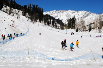
Solang Nala (Valley) derives its name from combination of words Solang (Nearby village) and Nallah (water stream). It is a side valley at the top of the Kullu Valley in Himachal Pradesh, India 14 km northwest of the resort town Manali on the way to Rohtang Pass, and is known for its summer and winter sport conditions. The sports most commonly offered are parachuting, paragliding, skating and zorbing.
Giant slopes of lawn comprise Solang Valley and provide its reputation as a popular ski resort. A few ski agencies offering courses and equipment reside here and operate only during winters.
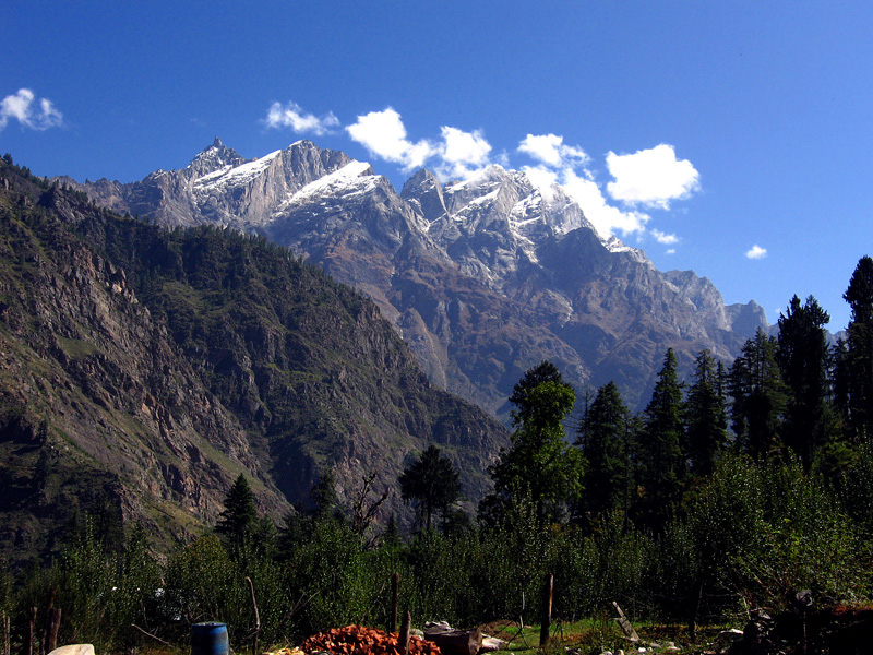
Sangla is a town in the Baspa Valley, also referred to as the Sangla valley, in the Kinnaur District of Himachal Pradesh, India, close to the Tibetan border.
One of the most charming valleys in the whole Kinnaur District, Sangla Valley is a perfect getaway from the hustle bustle of the swarming cities.
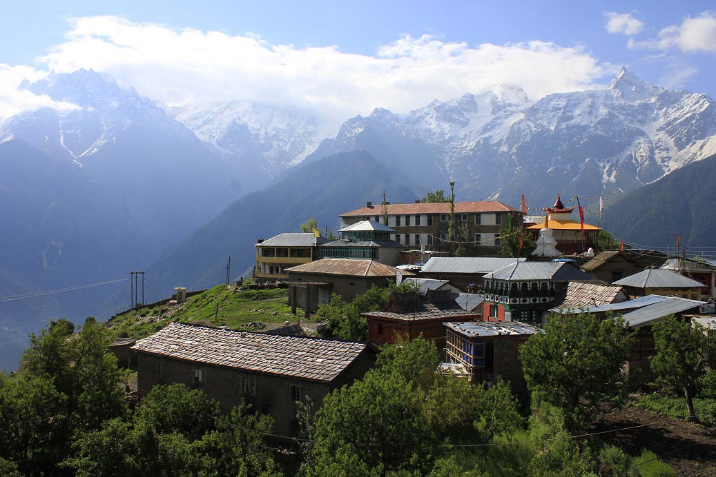
Kalpa is a small town in the Sutlej river valley, above Recong Peo in the Kinnaur district of Himachal Pradesh, Northern India, in the Indian Himalaya. Inhabited by Kinnauri people and known for its apple orchards. Apples are a major cash-crop for the region. The local inhabitants follow a syncretism of Hinduism and Buddhism, and many temples in Kalpa are dedicated to both Hindu and Buddhist gods and goddesses. The average literacy rate of Kalpa is around 83.75%. India's first ever voter Shyam Saran Negi also belongs to Kalpa.
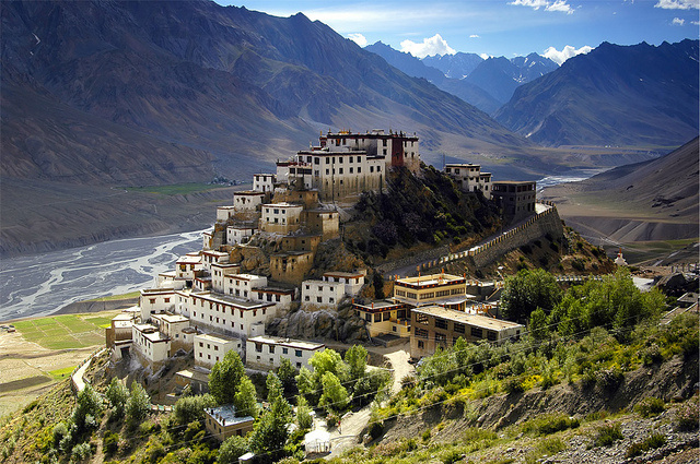
Spiti Valley is a cold desert mountain valley located high in the Himalayas in the north-eastern part of the northern Indian state of Himachal Pradesh. The name "Spiti" means "The Middle Land", i.e. the land between Tibet and India.
Local population follow Vajrayana Buddhism similar to that found in the nearby Tibet and Ladakh regions. The valley and surrounding region is one of the least populated regions in India and is the gateway to the northernmost reaches of the nation. Along the northern route from Manali, Himachal Pradesh or Keylong via the Rohtang Pass or Kunzum Pass respectively, the valley lies in the North Eastern section of the Indian state Himachal Pradesh, and forms part of the Lahaul and Spiti district. The sub-divisional headquarters (capital) is Kaza, Himachal Pradesh which is situated along the Spiti River at an elevation of about 12,500 feet (3,800 m) above mean sea level.
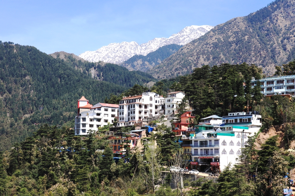
Dharamshala (also spelled Dharamsala) is the district headquarters of Kangra district in India. It was formerly known as Bhagsu. The Dalai Lama's residence and the headquarters of the Central Tibetan Administration (the Tibetan government in exile) are in Dharamshala. Dharamshala is 18 km (11 mi) from Kangra. Dharamshala has been selected as one of the hundred Indian cities to be developed as a smart city under PM Narendra Modi's flagship Smart Cities Mission.[2] On 19 January 2017, Chief Minister Virbhadra Singh declared Dharamshala as the second capital of Himachal Pradesh state, making Himachal Pradesh the third state of India with two capitals after Jammu and Kashmir and Maharashtra.
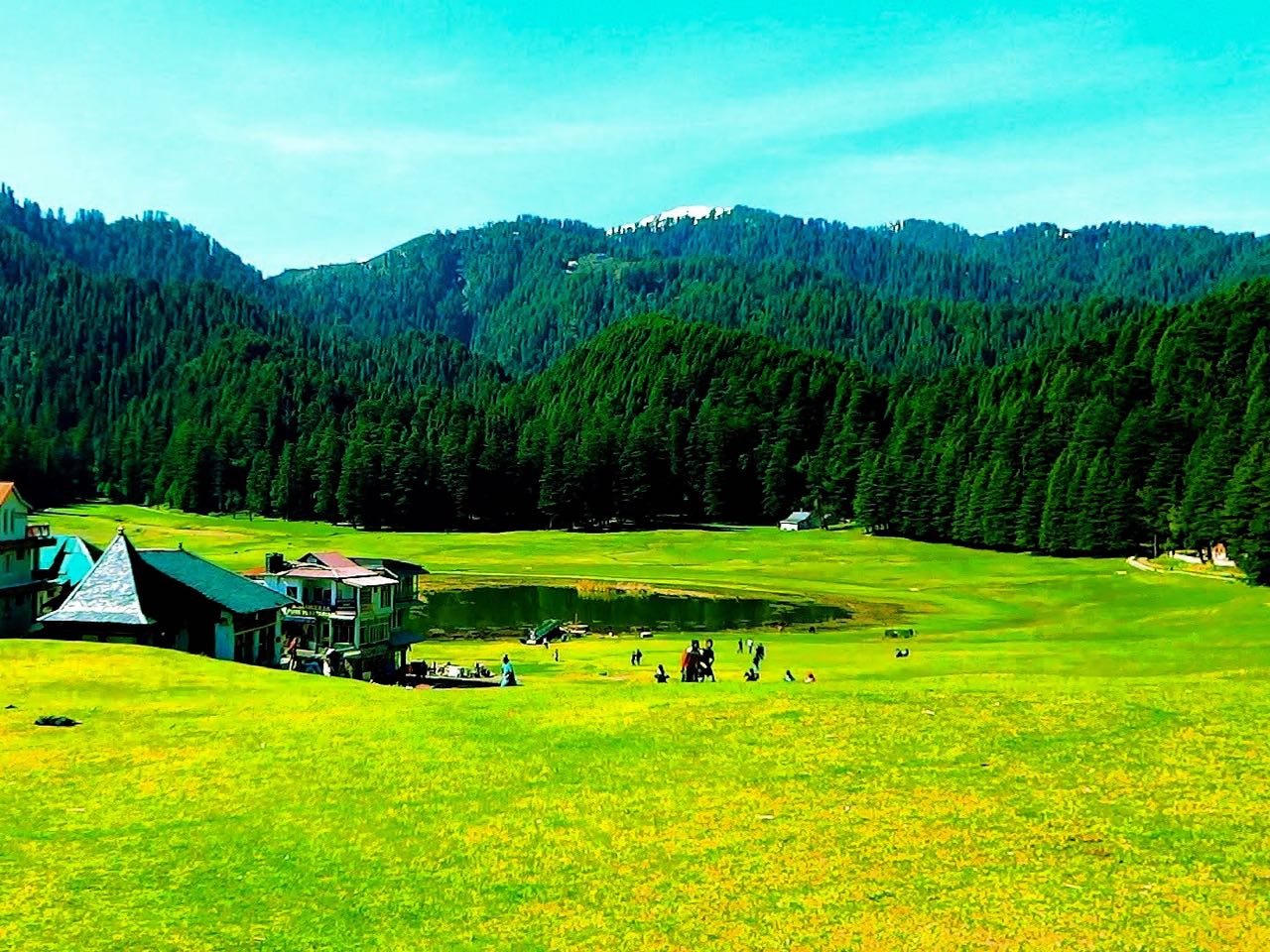
Khajjiar (Hindi: खज्जियार) is a hill station in Chamba district, Himachal Pradesh, India, located approximately 24 km from Dalhousie.
Khajjiar sits on a small plateau with a small stream-fed lake in the middle that has been covered over with weeds. The hill station is surrounded by meadows and forests. It is about 6,500 feet (2,000 m) above sea level in the foothills of the Dhauladhar ranges of the Western Himalayas and peaks can be seen in the distance. It is part of the Kalatop Khajjiar Sanctuary.